Garmin Descent MK1 and Dive Entry Point
Posted: Fri Jun 01, 2018 9:15 am
I'm trying to use MacDive with my Garmin Descent MK1 and have MacDive show and preserve the coordinates captured by the Descent for entry point but I'm having problems.
If I import a FIT file the details are added to dive list. If I select and Edit Selected and go to the Map tab, I do not see a marker indicating where the dive started.
If I then go to the Site tab and select the site, the Map tab is updated to a generic location for that site, even though there may be multiple entry points for that site.
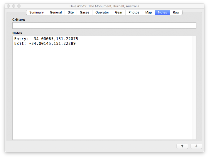
If I choose New Site, I see the actual entry coordinates that the Descent recorded, but if I choose Create Site with the same name as a previously created site, those coordinates are thrown away and it defaults to the generic coordinates for that site.
Is is possible with MacDive to select a site for a dive but still preserve the actual coordinates for the entry point and have that displayed on the map, and exported if the dive is exported?
If I import a FIT file the details are added to dive list. If I select and Edit Selected and go to the Map tab, I do not see a marker indicating where the dive started.
If I then go to the Site tab and select the site, the Map tab is updated to a generic location for that site, even though there may be multiple entry points for that site.
If I choose New Site, I see the actual entry coordinates that the Descent recorded, but if I choose Create Site with the same name as a previously created site, those coordinates are thrown away and it defaults to the generic coordinates for that site.
Is is possible with MacDive to select a site for a dive but still preserve the actual coordinates for the entry point and have that displayed on the map, and exported if the dive is exported?